Available today
Wildfire
Fire detections, mapped extent, temperature estimates, live viewing, and exported intelligence. Distinct workflows support observation crews and suppression operations.
Explore wildfire
Missions / Civil & defence
Voxelis connects airborne sensing, onboard computing, data infrastructure, and machine learning. Wildfire is the operational starting point for a platform built to serve a wider range of missions.
Discuss your mission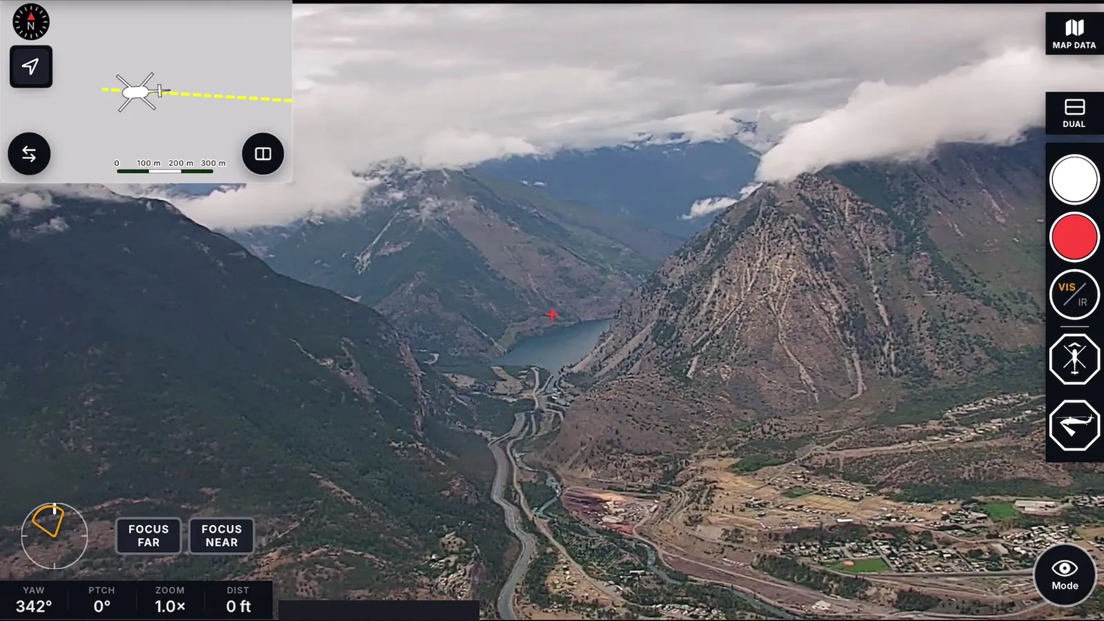
One platform. Many applications.
Wildfire capabilities are available today. Other mission areas are scoped around the task, sensor configuration, and integration needs.
Available today
Fire detections, mapped extent, temperature estimates, live viewing, and exported intelligence. Distinct workflows support observation crews and suppression operations.
Explore wildfireApplication area
Explore visible and thermal observation and the handoff of findings to rescue teams. Start with the search environment, what a finding should contain, and how the crew will review it; mission-model performance needs to be evaluated for that task.
Discuss SARApplication area
Explore powerline patrol, vegetation encroachment, and storm assessment. Bring the asset corridor, the condition to identify, and the inspection report or GIS workflow the finding needs to reach.
Discuss infrastructureApplication area
Explore pipeline and energy-corridor inspection, thermal observations, and change over repeat passes. Define the target condition, collection environment, and evidence needed to evaluate an inspection trial.
Discuss energyApplication area
Explore forest survey, canopy information, and change over time. Develop collection and data products around the landscape questions your team needs to answer.
Discuss resourcesApplication area
Explore maritime observation and Arctic domain awareness using equipped aircraft. Define the coverage, mission models, and information delivery required by the program.
Explore dual useDual use / One connected platformDual use / Canadian-built technology
Dual use means applying the same sensing, computing, data, and AI foundation to civilian and defence needs. Voxelis is developing a path for working aircraft to contribute to intelligence, surveillance, and reconnaissance (ISR), as well as the civil missions they already serve.
Discuss program requirementsAdd capability around existing aircraft and operator expertise, with participation and mission scope defined for each program.
Develop a distributed observation capability from participating aircraft for maritime, Arctic, and other domain-awareness needs.
Establish data rights, access, residency, and delivery requirements around the customer and the mission.
Start with the observation task, participating aircraft, information-handling requirements, and evaluation criteria. Coverage, configuration, integration, and operational requirements are defined for each program.
From application to capability
Bring your operational need, sensor, model, or data challenge. Our work connects hardware and embedded software with data infrastructure, proprietary datasets, machine learning, and mission delivery.